
Screenshots
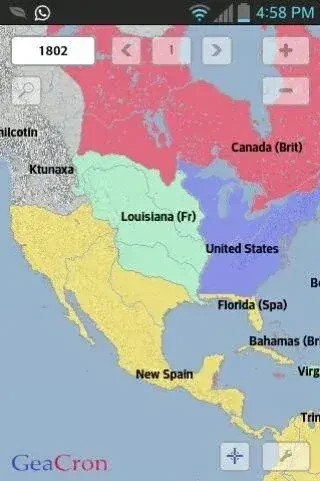
About this app
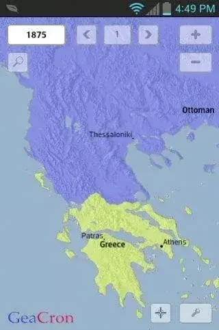
GeaCron History Maps is an educational history application that uses interactive maps to help users explore events, places, and changes from 3000 BC to the current era. Its main task is to connect historical information with geography and time, so users can examine conflicts, political developments, cities, population movements, and other major or minor events in context. The app’s clearest benefit is the ability to move through historical periods visually, combining maps, timelines, and supporting information for a more direct way to study history.
What historical information can you explore?
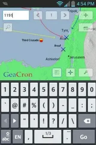
The app includes thousands of event-based maps covering world conflicts, wars, world politics, and other historical subjects. Users can select maps for major and minor events, then read additional information through a linked wiki page and icon to understand the nature of an event.
GeaCron History Maps also covers historical cities from 3000 BC through the current year. City data and maps can show where a city belonged, how large it was, and how it changed along an accurate timeline. This makes the app useful for comparing places and following their development across different periods.
How do the maps show change over time?
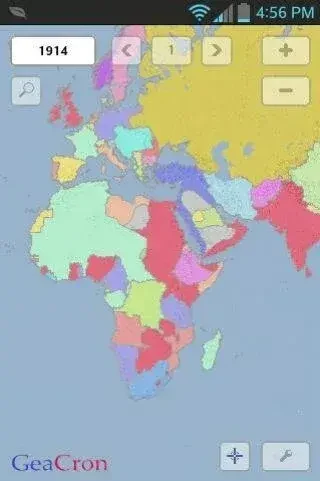
The application combines interactive maps and timelines to show historical information across different periods and regions. Users can choose specific timeframes and areas of interest, making it possible to focus on an era, location, or event instead of browsing the entire collection at once.
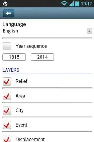
Map layers provide several ways to examine the same historical setting. Available layers include displacement, event, city, area, and relief. The displacement layer shows where people moved in relation to time, while the other layers add information about events, locations, territories, and geographical features. Users can also zoom in and out to inspect map details.
Which languages and visual tools are available?
GeaCron History Maps currently supports seven app languages: English, Chinese, Italian, German, Portuguese, French, and Spanish. This language selection is intended to make the historical maps and related information accessible to users who prefer different languages.
The maps use a two-dimensional design and are described as historically accurate, with designs created by historians and cartographers. Alongside the maps, the app provides visual tools, timelines, event information, and city data for a more detailed view of historical subjects.
Who may find this history app useful?
The app is suited to history enthusiasts who want to investigate famous figures, major events, battles, cities, and the regions connected with them. It may also support students looking for a visual reference for ancient civilizations, world conflicts, political history, and modern historical developments.
Its interface is described as intuitive, with navigation through historical periods, maps, and layers designed to be straightforward. The application is also described as lightweight and easy to download and install. Users who prefer learning through geographical context, selectable timeframes, and regional comparisons may find its interactive format particularly relevant.
Version history
View all05 Sep 2026 · stable