
Screenshots
About this app
Plane Finder - Flight Tracker Premium is designed for checking live flight activity when you need current information about aircraft, airports, or a particular route. Its map-based tracking view combines aircraft positions with flight status details, while search, airport profiles, technical data, and customizable viewing tools support more focused exploration.
Follow a flight from the live map
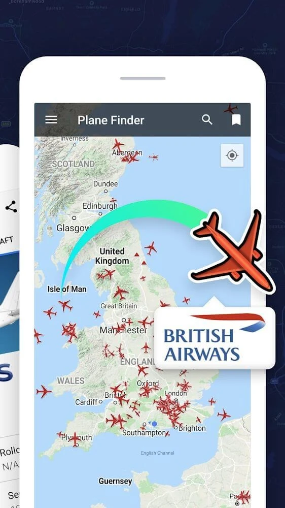
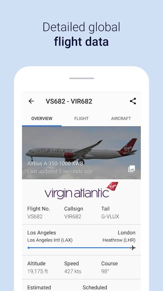
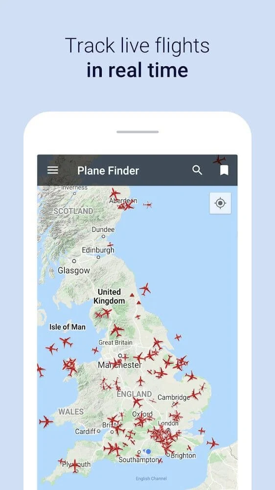
The home screen presents a global map with aircraft icons that indicate the current positions of flights. When you find a flight of interest, selecting its aircraft icon opens journey information such as altitude, speed, estimated arrival time, and other available flight data. This makes the map useful both for locating a flight and for examining its progress in more detail.
A search box provides another way to locate flights, airports, or other relevant information without relying only on the map. The app also identifies the top five trending live flights being tracked at a given time, giving users a separate view of flights receiving attention.
Check airport activity and travel details
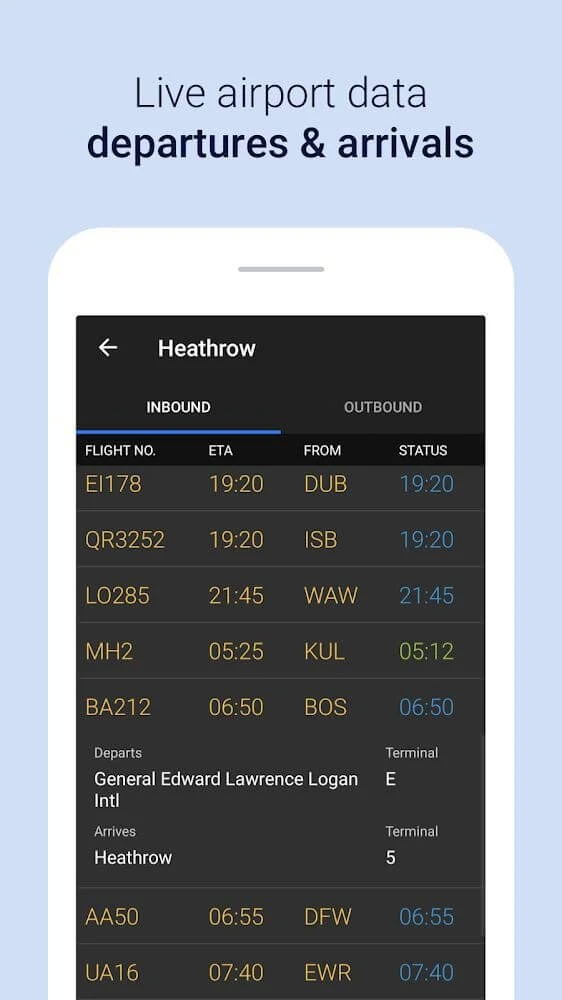
Airport information is organized around current arrivals and departures, with details that can include terminals, gates, and baggage information. Airport profiles also provide information about facilities, weather conditions, and current traffic, so an airport can be examined as a destination or as part of a flight route.
The app includes travel-plan tools that allow users to set up a trip and choose places according to their preferences. It also provides current air traffic and weather conditions alongside flight information, bringing several travel-related data points into the same experience.
Examine aircraft and flight data
For users who want more than a position on a map, Plane Finder - Flight Tracker Premium includes aircraft technical specifications and additional flight data. Aircraft tags can be configured to show selected content, including logos and text labels. More than 23 markers and airline logos are described as available for recognizing aircraft and related information.
Favorite airports and aircraft can be viewed in 3D, while satellite maps allow users to inspect locations visually and zoom in on areas of interest. These views provide alternative ways to explore air traffic and the places connected to a flight.
Adjust the map and organize searches
Map Focus Mode offers six map variants, including Military and Cargo modes, to place greater emphasis on selected types of aircraft or air traffic. The display can also be switched to a dark mode intended for use in low-light conditions.
For recurring searches, users can create, save, and name filters containing the flight information they need. A personalized watchlist can be built by selecting flights or routes with the plus button, and alerts can be configured for changes or delays affecting those selections.
Identify aircraft with augmented reality
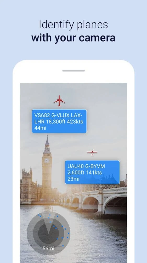
The augmented reality view uses the device camera to identify aircraft in the sky and show real-time information about them. After enabling AR mode and pointing the camera toward the sky, users can explore nearby airspace through the camera view while checking the aircraft identified by the app.
Review the available flight view
Together, the live map, airport profiles, aircraft details, filters, watchlists, and AR view support different ways to investigate flight activity. Users can begin with a global overview, narrow the result through search or saved filters, and then open the flight, airport, or aircraft information associated with what they find.
Version history
View all14 Oct 2025 · stable